
Overhead line survey
Route plans, profiles, and schedules for UK overhead lines, on the Ordnance Survey grid so every drawing matches.
The Process:
How is an Overhead Line Survey conducted?
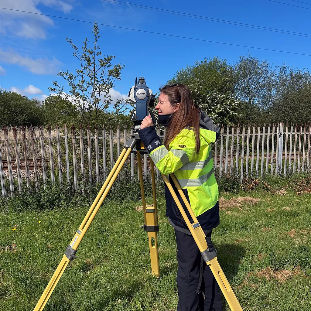
To conduct an Overhead Power Line Survey, it is necessary to follow specific steps to ensure safety and accuracy. Prior to the survey, necessary permissions must be obtained from relevant authorities, and a risk assessment must be done. The equipment required includes personal protective equipment, a camera, GPS, and a surveying instrument. The survey involves observing overhead power lines, noting their locations, and measuring the distances between them. The information collected is analyzed to create a detailed report and map of the overhead power lines. Careful attention must be paid to the safety of all team members during the survey, as it involves working in close proximity to high-voltage power lines. Conducting an Overhead Power Line Survey with professionalism is critical to ensure the safe and accurate identification and mapping of overhead power lines.
The Benefits:
Why do you need an Overhead line Survey?
Conducting a detailed survey of power lines can provide crucial insights that can lead to more efficient and effective operations, and ultimately, improved safety. By regularly surveying power lines, utilities can identify potential issues and proactively address them before they become major problems. This not only helps to prevent outages and disruptions to service, but can also identify areas where maintenance or upgrades may be necessary to improve the infrastructure's overall performance. Additionally, power line surveys provide a valuable source of data that can inform long-term planning and decision-making. By analyzing trends and patterns in power usage, utilities can make informed decisions about capacity expansion or resource allocation that can help to meet the needs of their customers and communities. Overall, conducting power line surveys is an important investment for utilities looking to maintain high standards of safety and reliability, while also maximizing operational efficiency.
The Limitations:
What are the limitations to Overhead Line Survey survey?
When conducting an overhead line survey, it is important to be aware of the potential limitations that may arise throughout the process. These limitations may include environmental factors, such as inclement weather or difficult terrain, technological issues, such as limitations of equipment or software, and safety concerns, such as high voltage hazards or other potential dangers present during the survey. It is important to plan ahead for these limitations and come up with strategies to minimize their impact on the survey results. By being proactive and prepared, the limitations of overhead line survey can be effectively addressed and minimized, ensuring accurate and comprehensive results that can be used to inform decision-making and improve overall system performance.
Deliverables
Line Route Plan
An accurate and detailed plan of the overhead line route, including the location of all structures, towers, and other infrastructure. Reference to Ordnance Survey OSGB coordinates and grid references.
Line Profiles
Detialed profiles of the overhead line route, including the height of the line above ground level, staturoty clearance curves, and the type of support used.
Line Schedule
A spreadsheet detailing the number of spans, length of each span, and the type of support used, as well angles of deviation and stay spreads. This is useful for material ordering and planning.