
Royal London
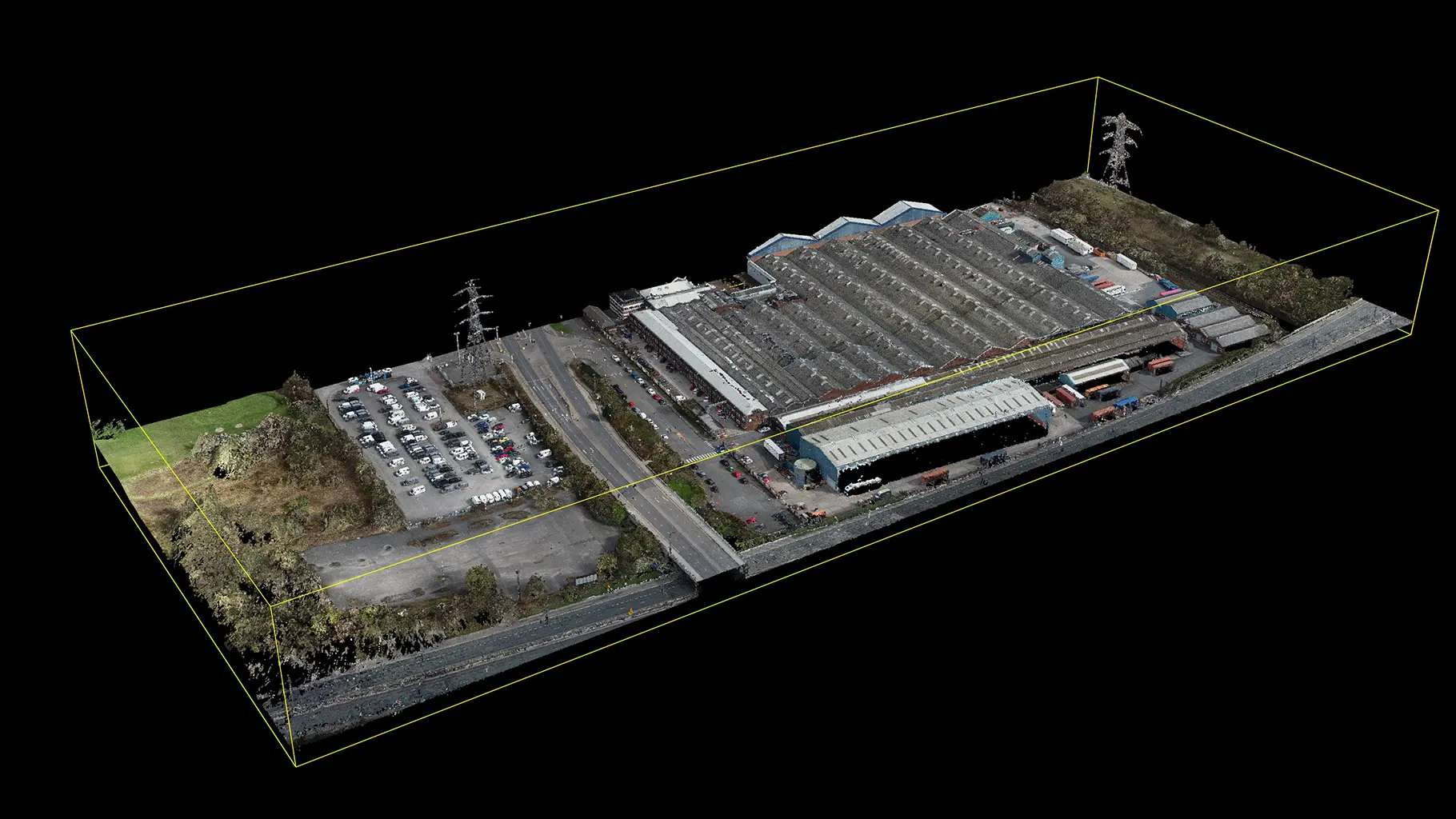
Drone Mapping at the Findel Complex
Shorter capture timelines across a complex logistics site.
For a logistics development near Manchester, Royal London needed aerial drone mapping and swing clearance surveys next to a National Grid 275kV transmission line. LDT provided the spatial evidence and clearance guidance the project manager and architect needed to develop safely around the existing asset.
Challenge
The Findel Complex development sits close to a National Grid 275kV transmission line, so safe working distances and accurate site mapping were central to design progress.
The project manager and architect needed a clear spatial picture (captured efficiently) without compromising the reliability of clearance advice.
What we did
We combined aerial drone mapping with swing clearance surveys to capture the site and define safe working relationships to the overhead line.
Outputs were supplied in formats ready for practical design, architecture, and review workflows.
Results
Shorter capture timelines across a complex logistics site.
Improved confidence in route and clearance interpretation beside the 275kV line.
A stronger evidence base for next-stage design and planning decisions.