Aerial drone survey
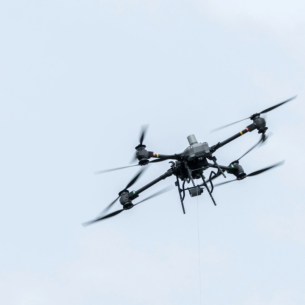
CAA-authorised drone surveys for mapping and inspection, with models ready when the air is the safer way to work.
The Process:
Drone Mapping & Survey
When conducting commercial drone flights, it is important to obtain proper permissions from the Civil Aviation Authority (CAA), with a few exceptions. Our team begins by defining the flight area and obtaining necessary clearance for the flight. Upon receiving take-off clearance, we proceed with executing the flight and gathering the required data. This information is then utilized to produce various deliverables such as orthomosaics and point cloud models. Our team ensures that all operations are carried out in compliance with regulations and safety standards to ensure the best possible outcomes for our clients
The Benefits:
Where does drone surveying outperform ground methods?
Modern site mapping involves a complex set of tasks and responsibilities that require advanced equipment and technology. One of the most essential tools for this process is the survey drone, which offers numerous benefits that are simply invaluable. Survey drones are equipped with advanced capabilities that allow them to provide accurate and reliable data, while enhancing the safety of workers on-site. One of the main advantages of survey drones is their ability to cover large areas efficiently, significantly reducing the amount of time and resources required for this task. Additionally, survey drones can gather highly detailed data that can be processed to create highly accurate 2D or 3D maps, which can be used for a variety of purposes. The real-time data gathering capabilities of survey drones also enable quick decision-making and improved communication among team members, thus boosting overall productivity. Perhaps one of the most significant benefits of using survey drones is the reduction in risk for workers on-site. Drones can access dangerous or hard-to-reach areas without exposing human workers to potential risks and hazards, thus reducing the risk of injury and other safety concerns. Overall, investing in survey drones is a smart and effective way to improve the efficiency and safety of any site mapping project, while delivering high-quality results that meet or exceed project requirements.
The Limitations:
What can prevent or delay a drone survey?
One of the challenges associated with the utilization of Unmanned Aerial Vehicles (UAVs), otherwise known as drones, to map areas is their limitations. These limitations include factors such as their limited battery life, maximum flight time, flying altitude, and range. Also, drones' ability to capture detailed images or data is affected by weather conditions, such as wind, rain, or fog. This limitation often results in incomplete or inaccurate mapping data for areas with challenging terrains. In addition, the process of drone mapping requires a trained pilot, qualified to handle and maneuver the device, and the software to process the acquired data. Nonetheless, despite the limitations, drones have become an essential technology in mapping, providing valuable insights used in various industries such as agriculture, real estate, and urban planning, among others.
Deliverables
Orthomosaics & Point Cloud Models
Geo-referenced imagery and 3D models suitable for measurement and design context. Accurately referenced to OSGB.
Inspection Photos & Videos
High-resolution photos and videos of the site, taken at different angles and distances to capture the site or asset in its entirety.
Thermal Images
Thermal images of the structure or asset, can be used to identify potential issues such as overheating or potential faults.