South Lane Widnes
Project Summary
Bloor Homes, an established housing developer, engaged the services of LDT to undertake Topographic and Swing Clearance Surveys for a development site in Widnes. A 400kV transmission line which runs through the site needs to be properly accounted for in the planning process to ensure the safety of workers and people in the surrounding areas. The surveys will provide crucial information to assist Bloor Homes in creating a safe working environment and ensuring there is adequate space around the transmission line to meet all relevant regulations. This will help streamline the planning process for the development and ensure compliance with the required safety standards.
Swing Clearance Survey | Aerial Drone Survey
Approach
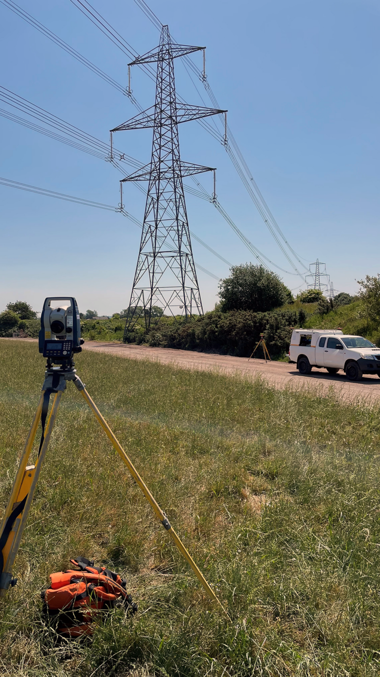
LDT utilizes modern technology to conduct its high-resolution aerial mapping surveys. By employing a survey grade remotely piloted aircraft, otherwise known as a drone, we are able to efficiently survey large areas. Our process, known as Photogrammetry, involves recording a series of images and establishing precise ground control points (GCP’s) to ensure accurate data that can be referenced to Ordnance Survey OSGB coordinates. To further enhance the results, we supplement our aerial survey with a Total Station Survey, which allows us to record specific points of interest on the pylons and conductor catenary’s. These steps enable us to produce highly accurate Sag and Swing drawings that detail the precise locations of conductors and structures, strictly adhering to industry guidance such as ENA 43-8 and HSE GS6. At LDT, we always aim to provide professionals with the highest quality services.
Results
LDT is equipped with the latest technology and a mastery of surveying practices that make it an ideal partner for Bloor Homes in achieving their goal of an improved housing supply that benefits families and householders. The provision of detailed profile drawings, high-resolution ortho-imagery, and 3D point clouds helped Bloor to effectively plan their development whilst maximising the use of their space, thus reducing costs.


