North Shropshire 132kV
Project Summary
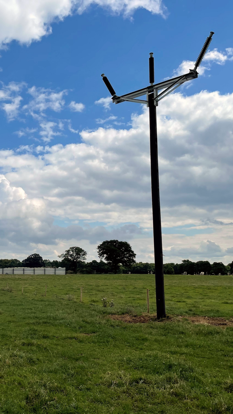
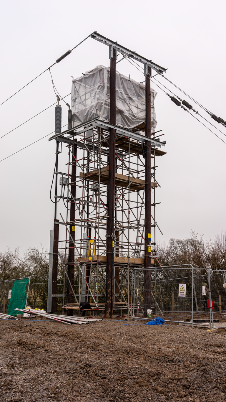
SP Manweb commissioned Line Design Technology to act as overhead line design consultants on the proposed North Shropshire reinforcement project. This was off the back of the successfully completed Legacy to Oswestry Trident design, which was shortlisted in November 2016 for a national utility sector award by Utilities Week for most efficient project delivery. The project was identified as a nationally significant infrastructure project by the Planning Inspectorate. LDT’s role was to work along with other key stakeholders to design a single-circuit wood pole line from Oswestry to Wem. This involved finding a route that had the least impact on the environment while ensuring it was technically feasible and economically viable.
Overhead Line Survey | Overhead Line Design
Approach
Line Design Technology (LDT) conducted a comprehensive analysis of the entire route using both aerial LiDAR and Ordnance Survey Mapping techniques. By utilizing these advanced technologies, LDT was able to identify critical limitations and determine the suitability of the route for further development.
To further enhance their surveying capabilities, LDT carried out topographic surveys using RTK GNSS, Total Stations, and state-of-the-art 3D scanners. This combination of cutting-edge tools allowed for accurate data collection and enabled LDT to generate Line Profiles and Route Plans.
The Line Profiles and Route Plans played a crucial role in the planning phase of the project. They provided vital information regarding the terrain’s contours, existing infrastructure, potential obstacles, and other pertinent details that needed consideration during construction.
By leveraging these detailed plans, LDT ensured that all aspects of the project were meticulously accounted for before any physical work began. This approach helped mitigate risks, streamline decision-making processes, and ultimately lead to a more efficient and successful implementation of the route design.
Overall, through careful analysis using advanced technology tools such as aerial LiDAR mapping, Ordnance Survey techniques, topographic surveys with RTK GNSS, Total Stations, and 3D scanners – supported by thorough Line Profiles and Route Plans – LDT proved itself capable of delivering precise and reliable information essential for successful route planning projects within diverse terrains.
Results
The DCO (Development Consent Order) planning application for the proposed project in the North Shropshire area was approved, paving the way for its construction to commence in 2021. The successful outcome of the application signifies a significant milestone in ensuring uninterrupted and reliable power supply to this region for years to come.
Valued at 18 million, the project holds immense importance in meeting the energy demands and enhancing the power infrastructure in North Shropshire. With an increasing population and evolving technological requirements, it has become crucial to strengthen the energy grid and guarantee sufficient capacity.


